
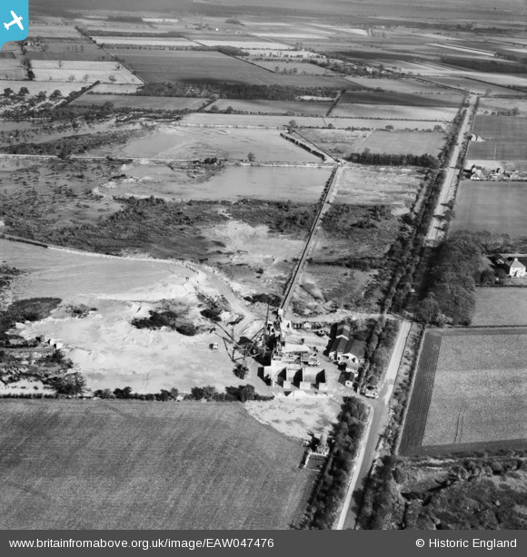
EAW047476 ENGLAND (1952). Blaxton Quarry, Blaxton, 1952. This image was marked by Aerofilms Ltd for photo editing.
© Copyright OpenStreetMap contributors and licensed by the OpenStreetMap Foundation. 2025. Cartography is licensed as CC BY-SA.
Nearby Images (19)
EAW047476

EAW043531

EAW047480

EAW043528

EAW047479

EAW047485

EAW047486

EAW047483

EAW043520

EAW047487

EAW049676

EAW047488

EAW043519

EAW047484

EAW043529

EAW049685

EAW047482

EAW047481

EAW047478

Details
| Title | [EAW047476] Blaxton Quarry, Blaxton, 1952. This image was marked by Aerofilms Ltd for photo editing. |
| Reference | EAW047476 |
| Date | 10-October-1952 |
| Link | |
| Place name | BLAXTON |
| Parish | FINNINGLEY |
| District | |
| Country | ENGLAND |
| Easting / Northing | 468751, 400889 |
| Longitude / Latitude | -0.96342472890623, 53.499949330956 |
| National Grid Reference | SE688009 |
Pins
Be the first to add a comment to this image!