
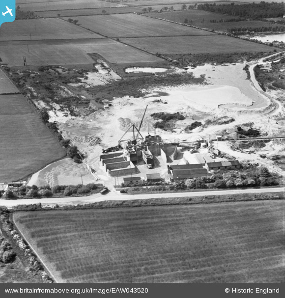
EAW043520 ENGLAND (1952). Blaxton Quarry, Finningley, 1952
© Copyright OpenStreetMap contributors and licensed by the OpenStreetMap Foundation. 2025. Cartography is licensed as CC BY-SA.
Nearby Images (15)
EAW043520

EAW047484

EAW047488

EAW047483

EAW047486

EAW043519

EAW047485

EAW047487

EAW043528

EAW047480

EAW047481

EAW043531

EAW047476

EAW047479

EAW049676

Details
| Title | [EAW043520] Blaxton Quarry, Finningley, 1952 |
| Reference | EAW043520 |
| Date | 21-May-1952 |
| Link | |
| Place name | FINNINGLEY |
| Parish | FINNINGLEY |
| District | |
| Country | ENGLAND |
| Easting / Northing | 468742, 400762 |
| Longitude / Latitude | -0.96358824036889, 53.498809032615 |
| National Grid Reference | SE687008 |
Pins
Be the first to add a comment to this image!