
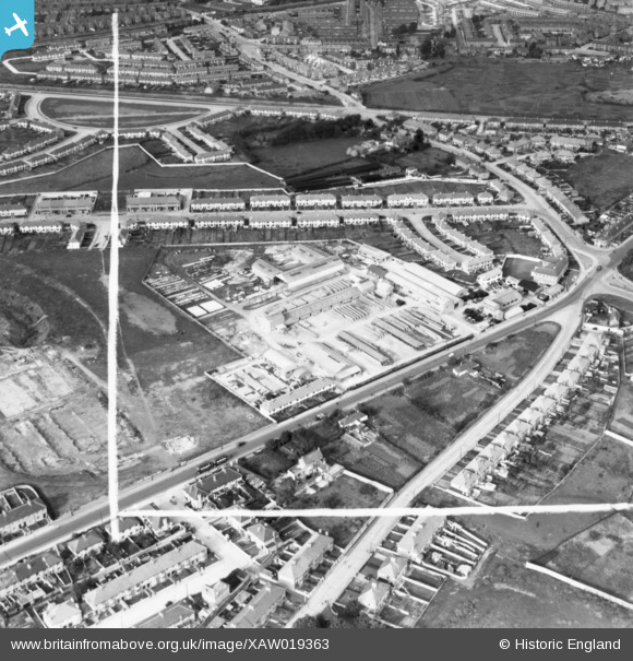
XAW019363 IRELAND (1948). Moracrete Ltd, Dublin, Dublin, Ireland, 1948. Oblique aerial photograph taken facing North. This image was marked by Aerofilms Ltd for photo editing.
© Copyright OpenStreetMap contributors and licensed by the OpenStreetMap Foundation. 2026. Cartography is licensed as CC BY-SA.
Nearby Images (21)
XAW019363

XAW027007

XAW019356

XAW019349

XAW019360

XAW019358

XAW019357

XAW019362

XAW027013

XAW027009

XAW019354

XAW019359

XAW019361

XAW027010

XAW019355

XAW027008

XAW027012

XAW027016

XAW027015

XAW027011

XAW027014

Details
| Title | [XAW019363] Moracrete Ltd, Dublin, Dublin, Ireland, 1948. Oblique aerial photograph taken facing North. This image was marked by Aerofilms Ltd for photo editing. |
| Reference | XAW019363 |
| Date | 20-September-1948 |
| Link | |
| Place name | DUBLIN |
| Parish | IRELAND |
| District | |
| Country | IRELAND |
| Easting / Northing | 113733, 390015 |
| Longitude / Latitude | -6.300881, 53.329402 |
| National Grid Reference |
Pins

JP |
Friday 3rd of April 2020 11:47:22 AM |