
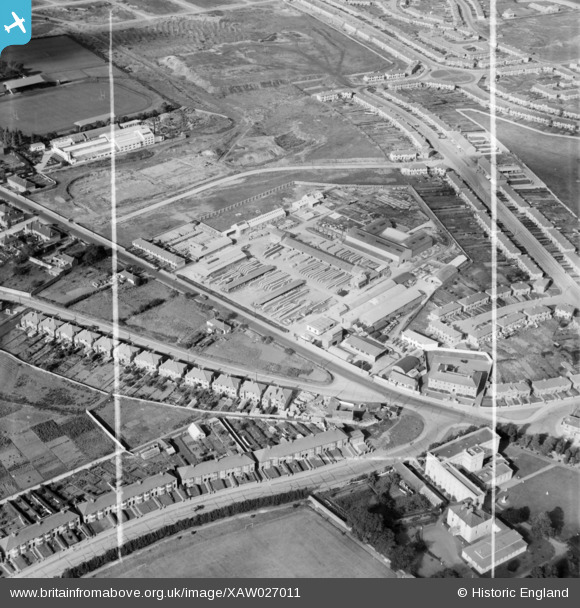
XAW027011 IRELAND (1949). Morocrete Ltd., Crumlin Road, Dublin, Dublin, Ireland, 1949. Oblique aerial photograph taken facing West. This image was marked by Aerofilms Ltd for photo editing.
© Copyright OpenStreetMap contributors and licensed by the OpenStreetMap Foundation. 2026. Cartography is licensed as CC BY-SA.
Nearby Images (20)
XAW027011

XAW027012

XAW027014

XAW019362

XAW027010

XAW019357

XAW019360

XAW027013

XAW019361

XAW019359

XAW019358

XAW027016

XAW027007

XAW027008

XAW027015

XAW019363

XAW019355

XAW019349

XAW027009

XAW019356

Details
| Title | [XAW027011] Morocrete Ltd., Crumlin Road, Dublin, Dublin, Ireland, 1949. Oblique aerial photograph taken facing West. This image was marked by Aerofilms Ltd for photo editing. |
| Reference | XAW027011 |
| Date | 30-September-1949 |
| Link | |
| Place name | DUBLIN |
| Parish | IRELAND |
| District | |
| Country | IRELAND |
| Easting / Northing | 113600, 390162 |
| Longitude / Latitude | -6.303001, 53.330645 |
| National Grid Reference |
Pins
Be the first to add a comment to this image!