
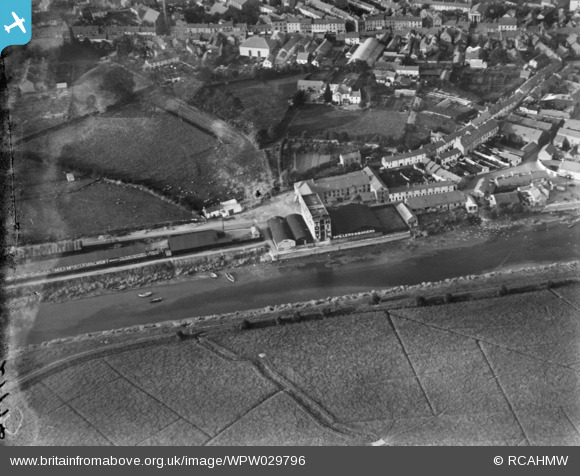
WPW029796 WALES (1929). View of Carmarthen showing river and Towy Mill, oblique aerial view. 5"x4" black and white glass plate negative.
© Copyright OpenStreetMap contributors and licensed by the OpenStreetMap Foundation. 2026. Cartography is licensed as CC BY-SA.
Nearby Images (5)
WAW039196

WPW029789

WPW029789A

WPW029795

WPW029796

Details
| Title | [WPW029796] View of Carmarthen showing river and Towy Mill, oblique aerial view. 5"x4" black and white glass plate negative. |
| Reference | WPW029796 |
| Date | 1929 |
| Link | Coflein Archive Item 6370647 |
| Place name | |
| Parish | |
| District | |
| Country | WALES |
| Easting / Northing | 241266, 219993 |
| Longitude / Latitude | -4.3051567721902, 51.855477647222 |
| National Grid Reference | SN413200 |
Pins

Yvonne |
Monday 14th of April 2014 08:11:49 PM |