
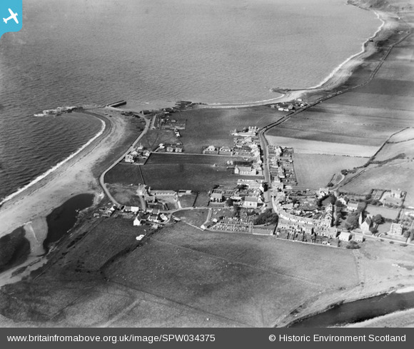
SPW034375 SCOTLAND (1930). Ballantrae, general view, showing Foreland and Main Street. An oblique aerial photograph taken facing north.
© Copyright OpenStreetMap contributors and licensed by the OpenStreetMap Foundation. 2025. Cartography is licensed as CC BY-SA.
Nearby Images (4)
SPW034373

SPW034375

SPW034374

SPW034382

Details
| Title | [SPW034375] Ballantrae, general view, showing Foreland and Main Street. An oblique aerial photograph taken facing north. |
| Reference | SPW034375 |
| Date | 1930 |
| Link | NRHE Collection item 1257101 |
| Place name | |
| Parish | BALLANTRAE (KYLE AND CARRICK) |
| District | KYLE AND CARRICK |
| Country | SCOTLAND |
| Easting / Northing | 208251, 582712 |
| Longitude / Latitude | -5.005918482577, 55.10162183687 |
| National Grid Reference | NX083827 |
Pins
 |

Billy Turner |
Tuesday 24th of November 2015 09:05:14 PM |
|
Billy Turner |
Tuesday 24th of November 2015 08:48:01 PM | |
|
Billy Turner |
Tuesday 24th of November 2015 07:10:51 PM |
