
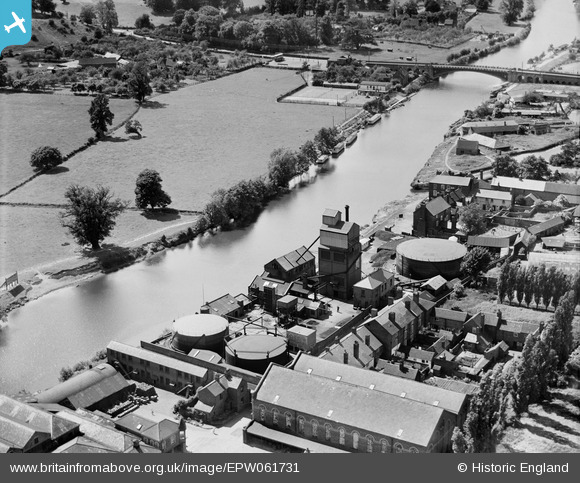
EPW061731 ENGLAND (1939). The Gas Works, Stourport-on-Severn, 1939
© Copyright OpenStreetMap contributors and licensed by the OpenStreetMap Foundation. 2026. Cartography is licensed as CC BY-SA.
Nearby Images (11)
EPW061731

EPW061728

EPW061730

EPW061729

EPW041761

EPW015082

EPW041758

EAW013582

EPW015081

EPW041763

EPW015083

Details
| Title | [EPW061731] The Gas Works, Stourport-on-Severn, 1939 |
| Reference | EPW061731 |
| Date | 10-June-1939 |
| Link | |
| Place name | STOURPORT-ON-SEVERN |
| Parish | STOURPORT-ON-SEVERN |
| District | |
| Country | ENGLAND |
| Easting / Northing | 381147, 270870 |
| Longitude / Latitude | -2.2767210432821, 52.335204595746 |
| National Grid Reference | SO811709 |
Pins
Be the first to add a comment to this image!