
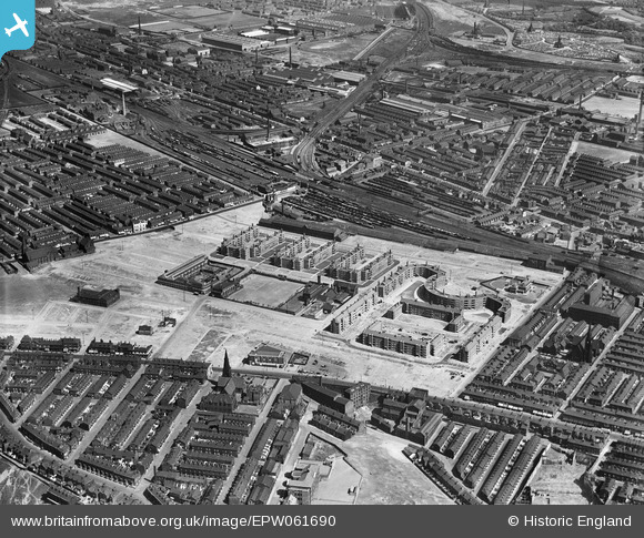
EPW061690 ENGLAND (1939). The Corporation flats and the surrounding area, Collyhurst, 1939
© Copyright OpenStreetMap contributors and licensed by the OpenStreetMap Foundation. 2026. Cartography is licensed as CC BY-SA.
Nearby Images (6)
EPW061690

EPW061689

EPW061688

EPW061686

EPW061685

EPW061687

Details
| Title | [EPW061690] The Corporation flats and the surrounding area, Collyhurst, 1939 |
| Reference | EPW061690 |
| Date | 4-June-1939 |
| Link | |
| Place name | COLLYHURST |
| Parish | |
| District | |
| Country | ENGLAND |
| Easting / Northing | 385721, 400069 |
| Longitude / Latitude | -2.2152690662474, 53.496878416027 |
| National Grid Reference | SD857001 |
Pins

hyperballadbrad |
Wednesday 10th of May 2023 04:42:31 PM | |
|
boltie |
Sunday 26th of January 2014 08:02:48 AM |