
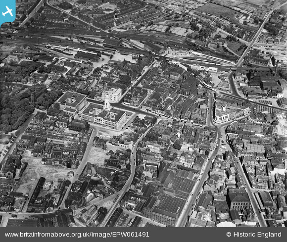
EPW061491 ENGLAND (1939). The town centre, Barnsley, 1939
© Copyright OpenStreetMap contributors and licensed by the OpenStreetMap Foundation. 2026. Cartography is licensed as CC BY-SA.
Nearby Images (16)
EPW061491

EAW024171

EPW057294

EAW024172

EPW055898

EPW057291

EPW061490

EPW055899

EPW057290

EPW021097

EPW057292

EPW055897

EPW021098

EPW021099

EPW021095A

EPW048004

Details
| Title | [EPW061491] The town centre, Barnsley, 1939 |
| Reference | EPW061491 |
| Date | 2-June-1939 |
| Link | |
| Place name | BARNSLEY |
| Parish | |
| District | |
| Country | ENGLAND |
| Easting / Northing | 434427, 406473 |
| Longitude / Latitude | -1.4802867998327, 53.553511432097 |
| National Grid Reference | SE344065 |
Pins
Be the first to add a comment to this image!