
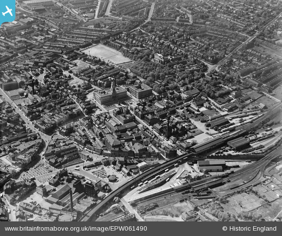
EPW061490 ENGLAND (1939). The town centre, Barnsley, 1939
© Copyright OpenStreetMap contributors and licensed by the OpenStreetMap Foundation. 2026. Cartography is licensed as CC BY-SA.
Nearby Images (15)
EPW061490

EPW055898

EPW057294

EPW021097

EPW055899

EAW024172

EPW061491

EAW024171

EPW057290

EPW057291

EPW021095A

EPW021098

EPW057292

EPW055897

EPW021099

Details
| Title | [EPW061490] The town centre, Barnsley, 1939 |
| Reference | EPW061490 |
| Date | 2-June-1939 |
| Link | |
| Place name | BARNSLEY |
| Parish | |
| District | |
| Country | ENGLAND |
| Easting / Northing | 434461, 406554 |
| Longitude / Latitude | -1.4797646249039, 53.554237310681 |
| National Grid Reference | SE345066 |
Pins

HOLMES |
Tuesday 22nd of September 2015 04:51:07 PM | |
|
HOLMES |
Tuesday 22nd of September 2015 04:47:07 PM | |
|
HOLMES |
Tuesday 22nd of September 2015 04:45:58 PM | |
|
HOLMES |
Tuesday 22nd of September 2015 04:45:10 PM | |
|
HOLMES |
Tuesday 22nd of September 2015 04:44:08 PM | |
|
HOLMES |
Tuesday 22nd of September 2015 04:43:11 PM |