
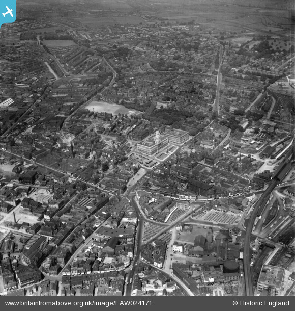
EAW024171 ENGLAND (1949). The town centre, Barnsley, 1949
© Copyright OpenStreetMap contributors and licensed by the OpenStreetMap Foundation. 2026. Cartography is licensed as CC BY-SA.
Nearby Images (15)
EAW024171

EPW057290

EPW061491

EPW055899

EPW055898

EPW057294

EPW061490

EAW024172

EPW021097

EPW057291

EPW055897

EPW021099

EPW057292

EPW021098

EPW048004

Details
| Title | [EAW024171] The town centre, Barnsley, 1949 |
| Reference | EAW024171 |
| Date | 23-June-1949 |
| Link | |
| Place name | BARNSLEY |
| Parish | |
| District | |
| Country | ENGLAND |
| Easting / Northing | 434383, 406491 |
| Longitude / Latitude | -1.4809490178307, 53.553676118463 |
| National Grid Reference | SE344065 |
Pins

chiffchaffbirdy |
Monday 28th of November 2016 05:00:30 PM | |
|
chiffchaffbirdy |
Monday 28th of November 2016 04:52:51 PM | |
|
chiffchaffbirdy |
Monday 28th of November 2016 04:51:46 PM |