
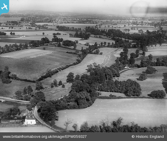
EPW059327 ENGLAND (1938). The Mar Dyke and environs, North Stifford, from the south-west, 1938
© Copyright OpenStreetMap contributors and licensed by the OpenStreetMap Foundation. 2025. Cartography is licensed as CC BY-SA.
Nearby Images (3)
EPW059327

EPW026359

EPW059400

Details
| Title | [EPW059327] The Mar Dyke and environs, North Stifford, from the south-west, 1938 |
| Reference | EPW059327 |
| Date | 12-September-1938 |
| Link | |
| Place name | NORTH STIFFORD |
| Parish | |
| District | |
| Country | ENGLAND |
| Easting / Northing | 559514, 180267 |
| Longitude / Latitude | 0.29832499662198, 51.498319603173 |
| National Grid Reference | TQ595803 |
Pins

MS |
Thursday 28th of March 2024 08:52:49 PM |