
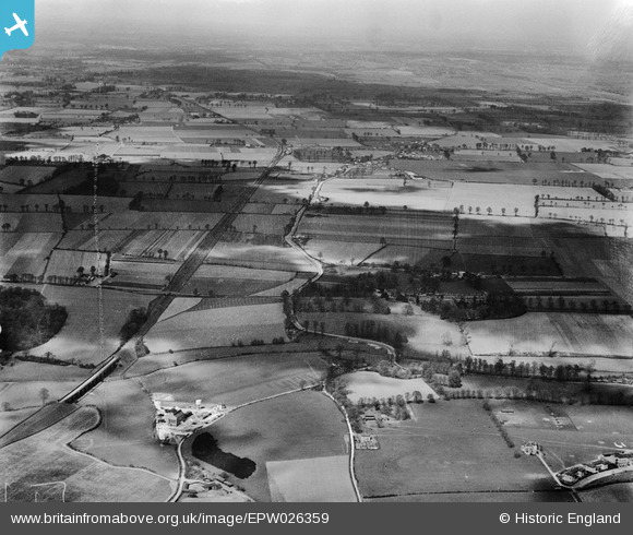
EPW026359 ENGLAND (1929). Stifford Hill, Ford Place and surrounding countryside, North Stifford, from the south, 1929
© Copyright OpenStreetMap contributors and licensed by the OpenStreetMap Foundation. 2025. Cartography is licensed as CC BY-SA.
Nearby Images (2)
EPW026359

EPW059327

Details
| Title | [EPW026359] Stifford Hill, Ford Place and surrounding countryside, North Stifford, from the south, 1929 |
| Reference | EPW026359 |
| Date | April-1929 |
| Link | |
| Place name | NORTH STIFFORD |
| Parish | |
| District | |
| Country | ENGLAND |
| Easting / Northing | 559379, 180464 |
| Longitude / Latitude | 0.29647056276355, 51.500127786757 |
| National Grid Reference | TQ594805 |
Pins

Carlont |
Wednesday 30th of June 2021 07:05:39 PM |