
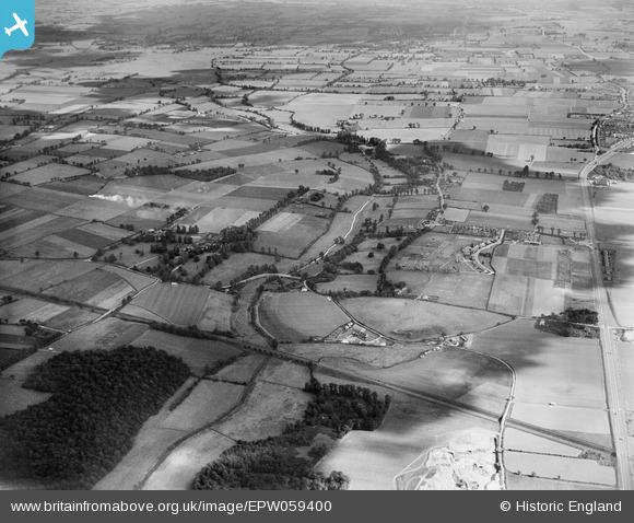
EPW059400 ENGLAND (1938). The Mar Dyke, Stifford Bridge and the surrounding countryside, North Stifford, 1938
© Copyright OpenStreetMap contributors and licensed by the OpenStreetMap Foundation. 2025. Cartography is licensed as CC BY-SA.
Nearby Images (3)
EPW059400

EPW059398

EPW059327

Details
| Title | [EPW059400] The Mar Dyke, Stifford Bridge and the surrounding countryside, North Stifford, 1938 |
| Reference | EPW059400 |
| Date | 15-September-1938 |
| Link | |
| Place name | NORTH STIFFORD |
| Parish | |
| District | |
| Country | ENGLAND |
| Easting / Northing | 559696, 180431 |
| Longitude / Latitude | 0.30101927556304, 51.499741790997 |
| National Grid Reference | TQ597804 |
Pins
Be the first to add a comment to this image!