
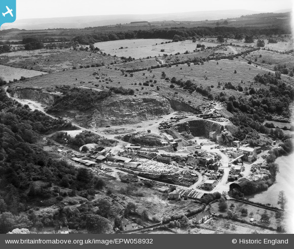
EPW058932 ENGLAND (1938). Backwell Quarry, Backwell Hill, from the north-east, 1938
© Copyright OpenStreetMap contributors and licensed by the OpenStreetMap Foundation. 2026. Cartography is licensed as CC BY-SA.
Nearby Images (21)
EPW058932

EAW023894

EPW058934

EPW058935

EPW058933

EPW058929

EPW058930

EAW015777

EPW058931

EAW023895

EAW023890

EAW023898

EAW023896

EAW023893

EAW015771

EAW023897

EAW038216

EAW015775

EAW015778

EAW015774

EAW015772

Details
| Title | [EPW058932] Backwell Quarry, Backwell Hill, from the north-east, 1938 |
| Reference | EPW058932 |
| Date | 17-August-1938 |
| Link | |
| Place name | BACKWELL HILL |
| Parish | BACKWELL |
| District | |
| Country | ENGLAND |
| Easting / Northing | 349159, 167884 |
| Longitude / Latitude | -2.7310358759329, 51.407205382247 |
| National Grid Reference | ST492679 |
Pins
Be the first to add a comment to this image!