
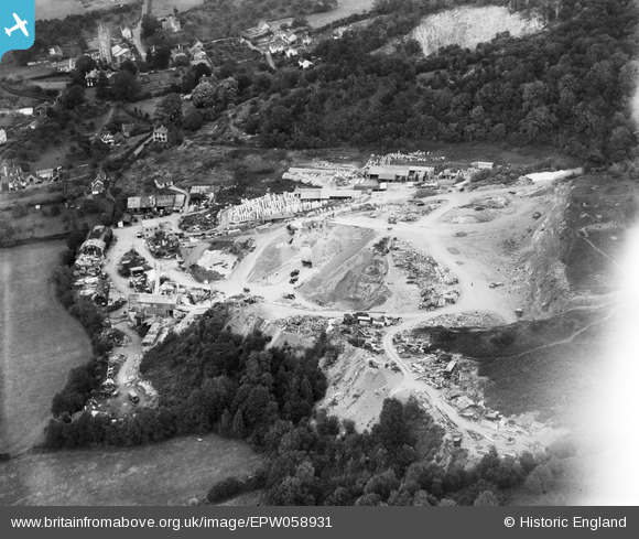
EPW058931 ENGLAND (1938). Backwell Quarry, Backwell Hill, 1938
© Copyright OpenStreetMap contributors and licensed by the OpenStreetMap Foundation. 2026. Cartography is licensed as CC BY-SA.
Nearby Images (20)
EPW058931

EPW058930

EPW058929

EAW023890

EPW058933

EAW023895

EPW058935

EPW058932

EAW023896

EAW023894

EAW023893

EAW023897

EPW058934

EAW023898

EAW015778

EAW015777

EAW015774

EAW015775

EAW038216

EAW015771

Details
| Title | [EPW058931] Backwell Quarry, Backwell Hill, 1938 |
| Reference | EPW058931 |
| Date | 17-August-1938 |
| Link | |
| Place name | BACKWELL HILL |
| Parish | BACKWELL |
| District | |
| Country | ENGLAND |
| Easting / Northing | 349085, 167920 |
| Longitude / Latitude | -2.7321049881684, 51.407522450325 |
| National Grid Reference | ST491679 |
Pins

MB |
Monday 28th of April 2014 06:49:57 PM | |
|
QLDriver |
Sunday 17th of November 2013 03:46:30 PM | |
|
QLDriver |
Sunday 17th of November 2013 03:46:02 PM |
User Comment Contributions
I think this was Coles Quarry, first developed in 1867. RMC Group acquired the site in 1968 and developed new workings further up the limestone hill. This site then became known as Lower Quarry and later served as the recycling depot for the village. [Main source: www.beyondtheboundary.co.uk/coles-quarry-backwell.html, citing a paper by R J Small of RMC Aggregates] |
MB |
Monday 28th of April 2014 06:56:51 PM |