
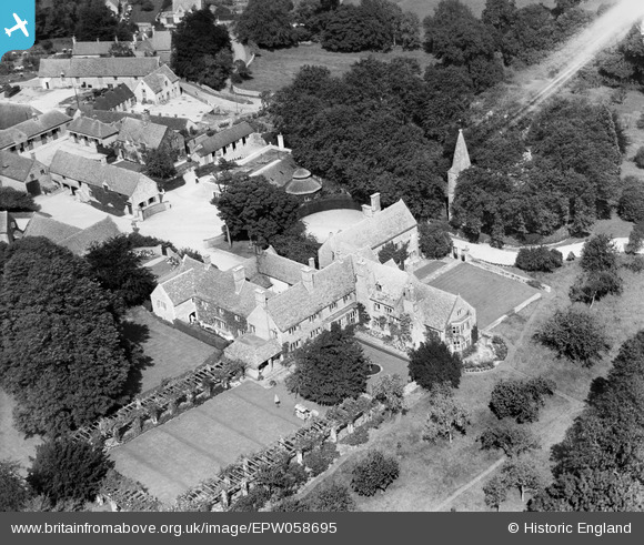
EPW058695 ENGLAND (1938). The Manor, Notgrove, 1938
© Copyright OpenStreetMap contributors and licensed by the OpenStreetMap Foundation. 2026. Cartography is licensed as CC BY-SA.
Nearby Images (7)
EPW058695

EPW058699

EPW058694

EPW058692

EPW058697

EPW058700

EPW058696

Details
| Title | [EPW058695] The Manor, Notgrove, 1938 |
| Reference | EPW058695 |
| Date | 15-August-1938 |
| Link | |
| Place name | NOTGROVE |
| Parish | NOTGROVE |
| District | |
| Country | ENGLAND |
| Easting / Northing | 410887, 219937 |
| Longitude / Latitude | -1.8418304703579, 51.877454309495 |
| National Grid Reference | SP109199 |
Pins

totoro |
Monday 8th of July 2013 05:57:15 PM |