
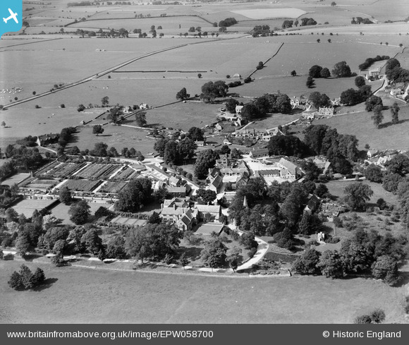
EPW058700 ENGLAND (1938). The Manor and village, Notgrove, 1938
© Copyright OpenStreetMap contributors and licensed by the OpenStreetMap Foundation. 2026. Cartography is licensed as CC BY-SA.
Nearby Images (7)
EPW058700

EPW058696

EPW058697

EPW058692

EPW058699

EPW058695

EPW058694

Details
| Title | [EPW058700] The Manor and village, Notgrove, 1938 |
| Reference | EPW058700 |
| Date | 15-August-1938 |
| Link | |
| Place name | NOTGROVE |
| Parish | NOTGROVE |
| District | |
| Country | ENGLAND |
| Easting / Northing | 410866, 220053 |
| Longitude / Latitude | -1.8421319102505, 51.878497778783 |
| National Grid Reference | SP109201 |
Pins
Be the first to add a comment to this image!