
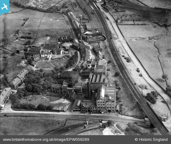
EPW058289 ENGLAND (1938). The Wall's Ice Cream Factory and environs, Godley Hill, 1938
© Copyright OpenStreetMap contributors and licensed by the OpenStreetMap Foundation. 2026. Cartography is licensed as CC BY-SA.
Nearby Images (7)
EPW058289

EPW058284

EPW058283

EPW058288

EPW058285

EPW058287

EPW058286

Details
| Title | [EPW058289] The Wall's Ice Cream Factory and environs, Godley Hill, 1938 |
| Reference | EPW058289 |
| Date | 22-July-1938 |
| Link | |
| Place name | GODLEY HILL |
| Parish | |
| District | |
| Country | ENGLAND |
| Easting / Northing | 396607, 394944 |
| Longitude / Latitude | -2.0510974128868, 53.450990129073 |
| National Grid Reference | SJ966949 |
Pins

stardelta |
Monday 9th of June 2014 10:01:51 PM |