
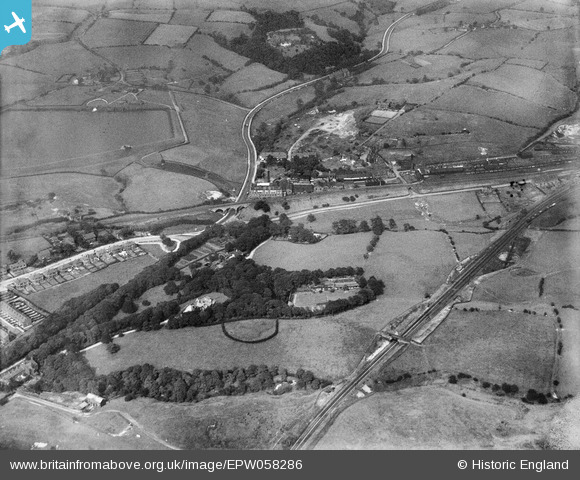
EPW058286 ENGLAND (1938). The village and surrounding countryside, Godley Hill, 1938
© Copyright OpenStreetMap contributors and licensed by the OpenStreetMap Foundation. 2026. Cartography is licensed as CC BY-SA.
Nearby Images (7)
EPW058286

EPW058287

EPW058289

EPW058284

EPW058285

EPW058288

EPW058283

Details
| Title | [EPW058286] The village and surrounding countryside, Godley Hill, 1938 |
| Reference | EPW058286 |
| Date | 22-July-1938 |
| Link | |
| Place name | GODLEY HILL |
| Parish | |
| District | |
| Country | ENGLAND |
| Easting / Northing | 396472, 394918 |
| Longitude / Latitude | -2.0531301738269, 53.450755514486 |
| National Grid Reference | SJ965949 |
