
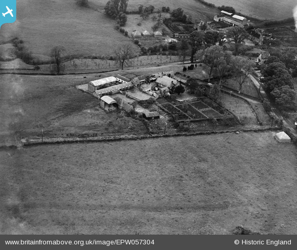
EPW057304 ENGLAND (1938). Hunts Mill Farm, Vastern, 1938
© Copyright OpenStreetMap contributors and licensed by the OpenStreetMap Foundation. 2026. Cartography is licensed as CC BY-SA.
Nearby Images (9)
EPW057304

EPW058985

EPW058988

EPW058984

EPW057303

EPW058986

EPW057305

EPW057302

EPW058987

Details
| Title | [EPW057304] Hunts Mill Farm, Vastern, 1938 |
| Reference | EPW057304 |
| Date | 1-June-1938 |
| Link | |
| Place name | VASTERN |
| Parish | WOOTTON BASSETT |
| District | |
| Country | ENGLAND |
| Easting / Northing | 405558, 181522 |
| Longitude / Latitude | -1.919864246339, 51.532098163342 |
| National Grid Reference | SU056815 |
Pins
Be the first to add a comment to this image!