
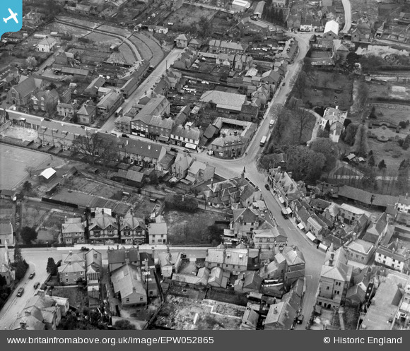
EPW052865 ENGLAND (1937). The Junction of Marlowes and Bury Road (Queensway), Hemel Hempstead, 1937
© Copyright OpenStreetMap contributors and licensed by the OpenStreetMap Foundation. 2026. Cartography is licensed as CC BY-SA.
Nearby Images (23)
EPW052865
, Hemel Hempstead, 1937")
EAW014884

EPW022457

EPW052866
 and environs, Hemel Hempstead, 1937")
EPW017818

EAW014883

EAW017250

EAW017251

EAW017252

EAW017256

EAW017260

EPW017820

EAW017255

EPW052869

EAW017257

EPR000482

EPW017817

EAW014881

EPW022456

EAW017253

EAW017261

EAW014882

EAW017254

Details
| Title | [EPW052865] The Junction of Marlowes and Bury Road (Queensway), Hemel Hempstead, 1937 |
| Reference | EPW052865 |
| Date | 16-April-1937 |
| Link | |
| Place name | HEMEL HEMPSTEAD |
| Parish | |
| District | |
| Country | ENGLAND |
| Easting / Northing | 505523, 207605 |
| Longitude / Latitude | -0.47098067449511, 51.756726224264 |
| National Grid Reference | TL055076 |
Pins

Baz 1969 |
Saturday 14th of March 2015 07:40:10 PM | |
|
H.E. |
Monday 12th of January 2015 07:06:40 PM | |
|
H.E. |
Monday 12th of January 2015 07:02:38 PM | |
|
H.E. |
Monday 12th of January 2015 07:00:50 PM | |
|
H.E. |
Monday 12th of January 2015 06:59:53 PM |
