
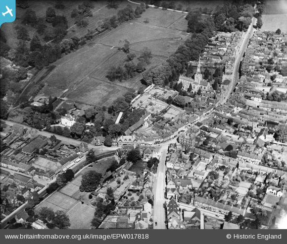
EPW017818 ENGLAND (1927). St Mary's Church and the High Street, Hemel Hempstead, 1927
© Copyright OpenStreetMap contributors and licensed by the OpenStreetMap Foundation. 2026. Cartography is licensed as CC BY-SA.
Nearby Images (22)
EPW017818

EAW017252

EAW017251

EAW017256

EAW017260

EPW052866
 and environs, Hemel Hempstead, 1937")
EPW052865
, Hemel Hempstead, 1937")
EPR000482

EAW014884

EAW017255

EPW017820

EAW014881

EAW017257

EPW017817

EAW014883

EAW017261

EPW022457

EAW017253

EAW014882

EAW017254

EAW017250

EPW022456

Details
| Title | [EPW017818] St Mary's Church and the High Street, Hemel Hempstead, 1927 |
| Reference | EPW017818 |
| Date | April-1927 |
| Link | |
| Place name | HEMEL HEMPSTEAD |
| Parish | |
| District | |
| Country | ENGLAND |
| Easting / Northing | 505495, 207700 |
| Longitude / Latitude | -0.47135739624586, 51.757585446405 |
| National Grid Reference | TL055077 |
Pins

DRKJ39 |
Thursday 14th of January 2021 09:23:32 PM |