
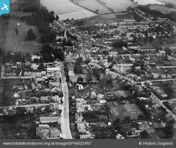
EPW022457 ENGLAND (1928). The town centre, Hemel Hempstead, 1928
© Copyright OpenStreetMap contributors and licensed by the OpenStreetMap Foundation. 2026. Cartography is licensed as CC BY-SA.
Nearby Images (22)
EPW022457

EPW052865
, Hemel Hempstead, 1937")
EPW052866
 and environs, Hemel Hempstead, 1937")
EAW014883

EAW014884

EAW017250

EPW017818

EAW017252

EPW017820

EAW017251

EPW052869

EAW017256

EAW017260

EPW017817

EAW014881

EPR000482

EAW017255

EAW014882

EAW017257

EPW022456

EAW017253

EAW017261

Details
| Title | [EPW022457] The town centre, Hemel Hempstead, 1928 |
| Reference | EPW022457 |
| Date | 9-August-1928 |
| Link | |
| Place name | HEMEL HEMPSTEAD |
| Parish | |
| District | |
| Country | ENGLAND |
| Easting / Northing | 505573, 207592 |
| Longitude / Latitude | -0.47026040650936, 51.756599943989 |
| National Grid Reference | TL056076 |
Pins

H.E. |
Saturday 24th of April 2021 03:22:06 PM | |
|
H.E. |
Saturday 4th of August 2018 09:59:11 PM | |
|
H.E. |
Monday 12th of January 2015 03:47:31 PM | |
|
H.E. |
Monday 12th of January 2015 03:46:11 PM | |
|
H.E. |
Monday 12th of January 2015 03:41:43 PM | |
|
H.E. |
Monday 12th of January 2015 03:40:42 PM | |
|
H.E. |
Monday 12th of January 2015 03:39:30 PM | |
|
H.E. |
Monday 12th of January 2015 03:37:12 PM | |
|
H.E. |
Monday 12th of January 2015 03:32:20 PM | |
|
H.E. |
Monday 12th of January 2015 03:27:31 PM | |
|
JanetH |
Sunday 24th of February 2013 11:25:12 PM |