
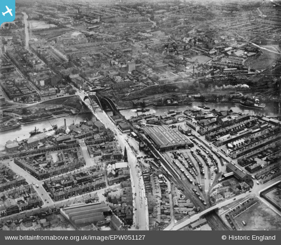
EPW051127 ENGLAND (1936). Wearmouth Bridge and environs, Sunderland, 1936. This image has been produced from copy-negative.
© Copyright OpenStreetMap contributors and licensed by the OpenStreetMap Foundation. 2026. Cartography is licensed as CC BY-SA.
Nearby Images (18)
EPW051127

EAW001027

EAW001028

EPW020544

EAW001026

EAW405804

EAW021466

EAW022796

EAW022795

EAW021454
 and assisting tugs on the River Wear by Wearmouth Bridge and Monkwearmouth Brewery, Monkwearmouth, 1949")
EPW020542

EAW022830

EAW022798

EAW022794

EAW022793

EPW010360

EAW022797

EAW022831

Details
| Title | [EPW051127] Wearmouth Bridge and environs, Sunderland, 1936. This image has been produced from copy-negative. |
| Reference | EPW051127 |
| Date | July-1936 |
| Link | |
| Place name | SUNDERLAND |
| Parish | |
| District | |
| Country | ENGLAND |
| Easting / Northing | 439557, 557445 |
| Longitude / Latitude | -1.3829334409303, 54.910065006391 |
| National Grid Reference | NZ396574 |
Pins
Be the first to add a comment to this image!