
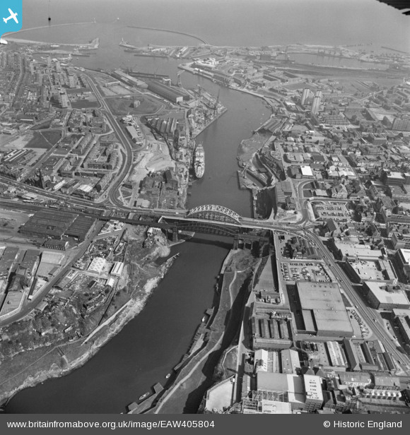
EAW405804 ENGLAND (1981). Wearmouth Bridge, Sunderland Harbour, Sunderland, 1981
© Copyright OpenStreetMap contributors and licensed by the OpenStreetMap Foundation. 2026. Cartography is licensed as CC BY-SA.
Nearby Images (8)
EAW405804

EAW001026

EAW021454
 and assisting tugs on the River Wear by Wearmouth Bridge and Monkwearmouth Brewery, Monkwearmouth, 1949")
EAW021466

EAW021467

EAW001027

EPW051127

EPW010360

Details
| Title | [EAW405804] Wearmouth Bridge, Sunderland Harbour, Sunderland, 1981 |
| Reference | EAW405804 |
| Date | 18-April-1981 |
| Link | |
| Place name | SUNDERLAND |
| Parish | NON CIVIL PARISH |
| District | |
| Country | ENGLAND |
| Easting / Northing | 439749, 557447 |
| Longitude / Latitude | -1.3799382693839, 54.910067736954 |
| National Grid Reference | NZ397574 |
Pins

Alan |
Tuesday 2nd of January 2018 05:48:53 PM |