
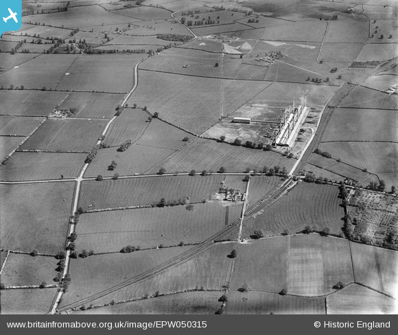
EPW050315 ENGLAND (1936). The Ridgmont Brick Works and surrounding countryside, Brogborough, 1936
© Copyright OpenStreetMap contributors and licensed by the OpenStreetMap Foundation. 2026. Cartography is licensed as CC BY-SA.
Nearby Images (3)
EPW050315

EPW050311

EPW050313

Details
| Title | [EPW050315] The Ridgmont Brick Works and surrounding countryside, Brogborough, 1936 |
| Reference | EPW050315 |
| Date | May-1936 |
| Link | |
| Place name | BROGBOROUGH |
| Parish | BROGBOROUGH |
| District | |
| Country | ENGLAND |
| Easting / Northing | 496344, 237626 |
| Longitude / Latitude | -0.59554953683983, 52.028246050756 |
| National Grid Reference | SP963376 |

