
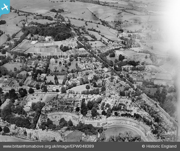
EPW048389 ENGLAND (1935). Lansdown Crescent, Lansdown Road and environs, Lansdown, 1935
© Copyright OpenStreetMap contributors and licensed by the OpenStreetMap Foundation. 2026. Cartography is licensed as CC BY-SA.
Nearby Images (4)
EPW048389

EPR000132

EPW048388

EPW001956

Details
| Title | [EPW048389] Lansdown Crescent, Lansdown Road and environs, Lansdown, 1935 |
| Reference | EPW048389 |
| Date | July-1935 |
| Link | |
| Place name | LANSDOWN |
| Parish | |
| District | |
| Country | ENGLAND |
| Easting / Northing | 374482, 166413 |
| Longitude / Latitude | -2.3668260448207, 51.395682845417 |
| National Grid Reference | ST745664 |
Pins
Be the first to add a comment to this image!