
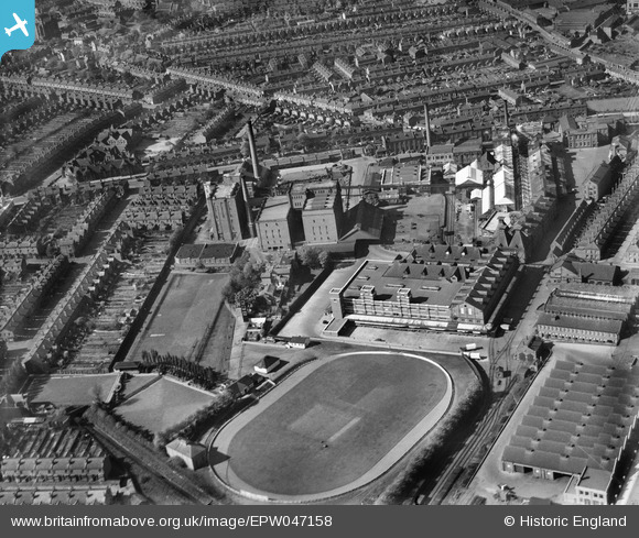
EPW047158 ENGLAND (1935). The Cape Hill Brewery and Cricket Ground, Smethwick, 1935
© Copyright OpenStreetMap contributors and licensed by the OpenStreetMap Foundation. 2026. Cartography is licensed as CC BY-SA.
Nearby Images (10)
EPW047158

EPW047167

EPW047159

EPW047161

EPW047163

EPW047160

EPW047166

EPW047165

EPW047162

EPW047164

Details
| Title | [EPW047158] The Cape Hill Brewery and Cricket Ground, Smethwick, 1935 |
| Reference | EPW047158 |
| Date | May-1935 |
| Link | |
| Place name | SMETHWICK |
| Parish | |
| District | |
| Country | ENGLAND |
| Easting / Northing | 403307, 287533 |
| Longitude / Latitude | -1.9512953895166, 52.485337536514 |
| National Grid Reference | SP033875 |
Pins

Phil Uttley |
Tuesday 30th of September 2014 01:25:27 PM | |
|
PURCELL |
Saturday 22nd of March 2014 10:25:44 AM |
User Comment Contributions
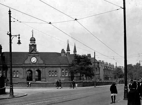
Cape Hill school |
Kevin |
Sunday 24th of July 2016 10:34:58 PM |