
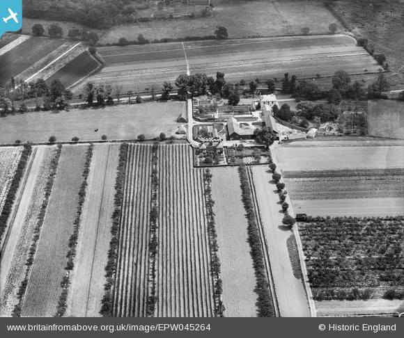
EPW045264 ENGLAND (1934). Chestnut Lodge Farm and surrounding farmland, Cobham, 1934
© Copyright OpenStreetMap contributors and licensed by the OpenStreetMap Foundation. 2026. Cartography is licensed as CC BY-SA.
Nearby Images (7)
EPW045264

EPW045263

EPW045268

EPW045266

EPW045262

EPW045265

EPW045269

Details
| Title | [EPW045264] Chestnut Lodge Farm and surrounding farmland, Cobham, 1934 |
| Reference | EPW045264 |
| Date | July-1934 |
| Link | |
| Place name | COBHAM |
| Parish | |
| District | |
| Country | ENGLAND |
| Easting / Northing | 510390, 161281 |
| Longitude / Latitude | -0.41502593252283, 51.33938341203 |
| National Grid Reference | TQ104613 |
Pins
Be the first to add a comment to this image!