
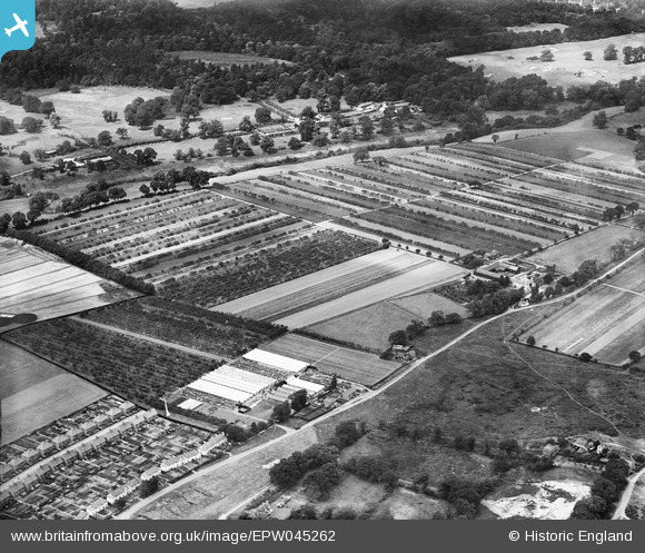
EPW045262 ENGLAND (1934). Chestnut Lodge Farm and surrounding farmland, Cobham, 1934
© Copyright OpenStreetMap contributors and licensed by the OpenStreetMap Foundation. 2026. Cartography is licensed as CC BY-SA.
Nearby Images (8)
EPW045262

EPW045266

EPW045268

EPW045267

EPW045264

EPW045263

EPW045269

EPW045270

Details
| Title | [EPW045262] Chestnut Lodge Farm and surrounding farmland, Cobham, 1934 |
| Reference | EPW045262 |
| Date | July-1934 |
| Link | |
| Place name | COBHAM |
| Parish | |
| District | |
| Country | ENGLAND |
| Easting / Northing | 510282, 161148 |
| Longitude / Latitude | -0.41661715614316, 51.338208799083 |
| National Grid Reference | TQ103611 |
Pins
Be the first to add a comment to this image!