
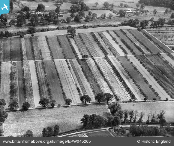
EPW045265 ENGLAND (1934). Farmland adjacent to Chestnut Lodge Farm, Cobham, 1934
© Copyright OpenStreetMap contributors and licensed by the OpenStreetMap Foundation. 2026. Cartography is licensed as CC BY-SA.
Nearby Images (4)
EPW045265

EPW045268

EPW045264

EPW045263

Details
| Title | [EPW045265] Farmland adjacent to Chestnut Lodge Farm, Cobham, 1934 |
| Reference | EPW045265 |
| Date | July-1934 |
| Link | |
| Place name | COBHAM |
| Parish | |
| District | |
| Country | ENGLAND |
| Easting / Northing | 510250, 161440 |
| Longitude / Latitude | -0.41698597615266, 51.340839888081 |
| National Grid Reference | TQ103614 |
Pins
Be the first to add a comment to this image!