
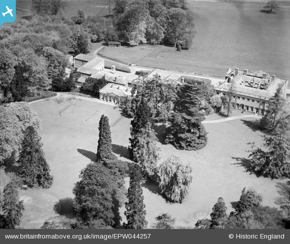
EPW044257 ENGLAND (1934). Shardeloes, Amersham, 1934
© Copyright OpenStreetMap contributors and licensed by the OpenStreetMap Foundation. 2026. Cartography is licensed as CC BY-SA.
Nearby Images (15)
EPW044257

EPW044264

EPW021358

EPW044262

EPW044260

EPW044258

EPW021356

EPW021355

EPW044259

EPW044261

EPW017833

EPW021357

EPW044263

EPW044265

EPW044886

Details
| Title | [EPW044257] Shardeloes, Amersham, 1934 |
| Reference | EPW044257 |
| Date | May-1934 |
| Link | |
| Place name | AMERSHAM |
| Parish | AMERSHAM |
| District | |
| Country | ENGLAND |
| Easting / Northing | 493771, 197828 |
| Longitude / Latitude | -0.64384312843879, 51.67092579603 |
| National Grid Reference | SU938978 |
Pins

totoro |
Sunday 15th of December 2013 10:04:43 PM |