
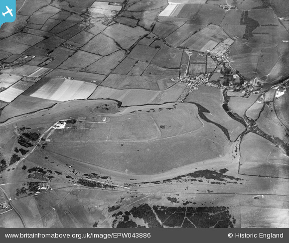
EPW043886 ENGLAND (1934). Devil's Dyke Hillfort, Poynings, 1934
© Copyright OpenStreetMap contributors and licensed by the OpenStreetMap Foundation. 2026. Cartography is licensed as CC BY-SA.
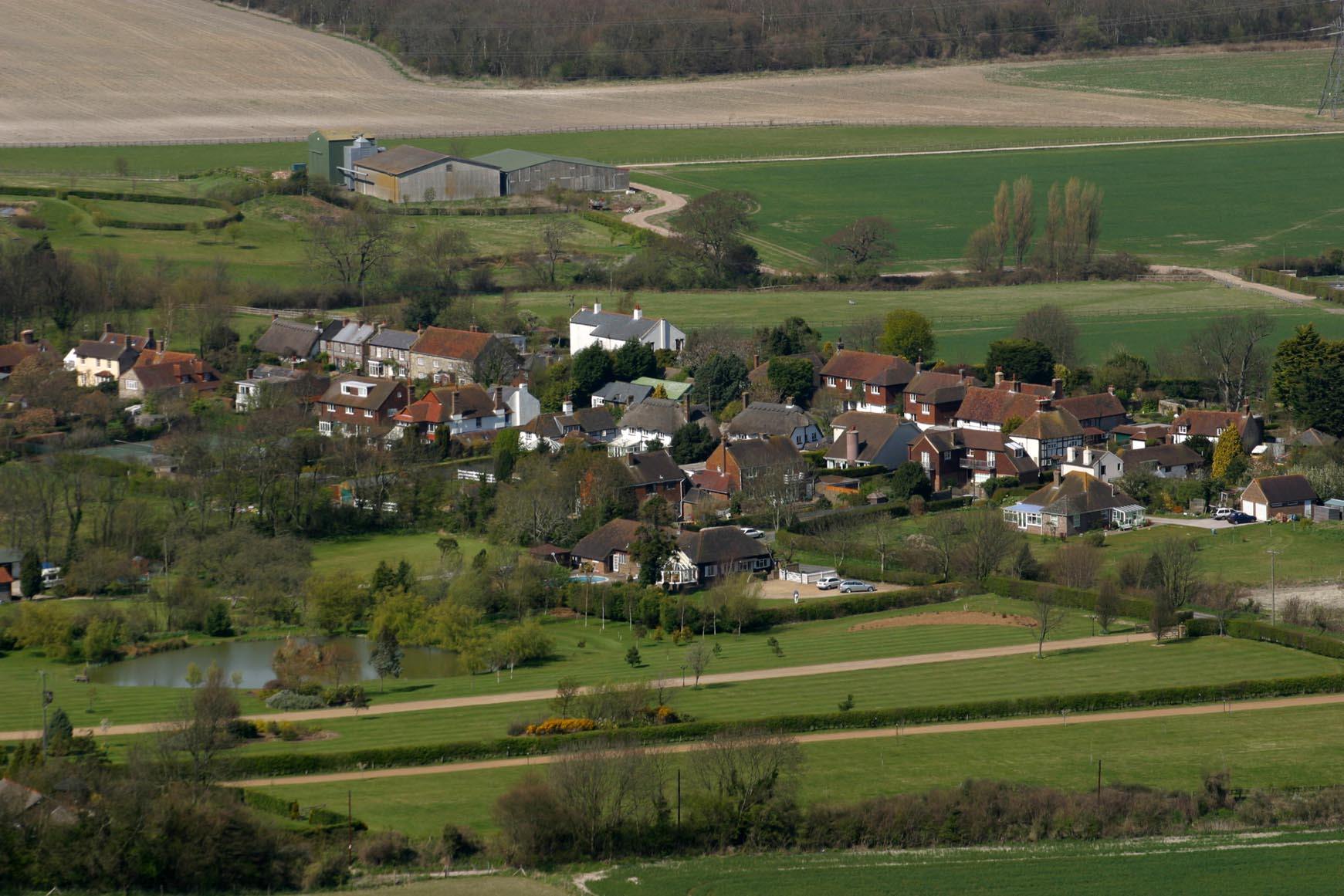
Nearby Images (7)
EPW043886

EPW043914

EPW043885

EPW043887

EPW041379

EPW041378

EPW017737

Details
| Title | [EPW043886] Devil's Dyke Hillfort, Poynings, 1934 |
| Reference | EPW043886 |
| Date | March-1934 |
| Link | |
| Place name | POYNINGS |
| Parish | POYNINGS |
| District | |
| Country | ENGLAND |
| Easting / Northing | 526074, 111178 |
| Longitude / Latitude | -0.20746236413527, 50.885762283841 |
| National Grid Reference | TQ261112 |
Pins
Be the first to add a comment to this image!
User Comment Contributions
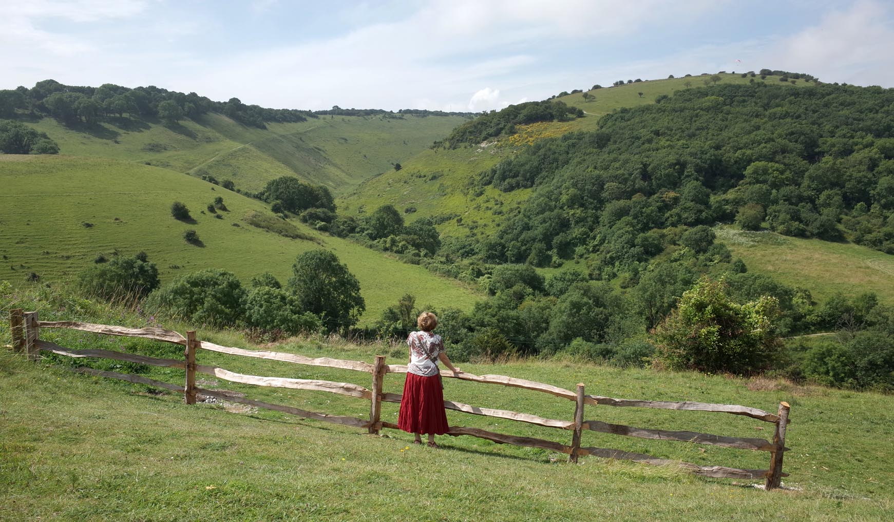
The Devil's Dyke |

Alan McFaden |
Tuesday 25th of November 2014 06:05:35 PM |
The view from the top of Devil's Dyke |
Alan McFaden |
Tuesday 25th of November 2014 06:05:12 PM |
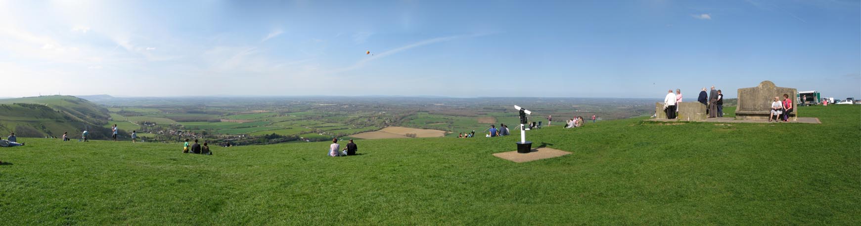
The Top of Devil's Dyke Panorama |
Alan McFaden |
Tuesday 25th of November 2014 06:03:34 PM |