
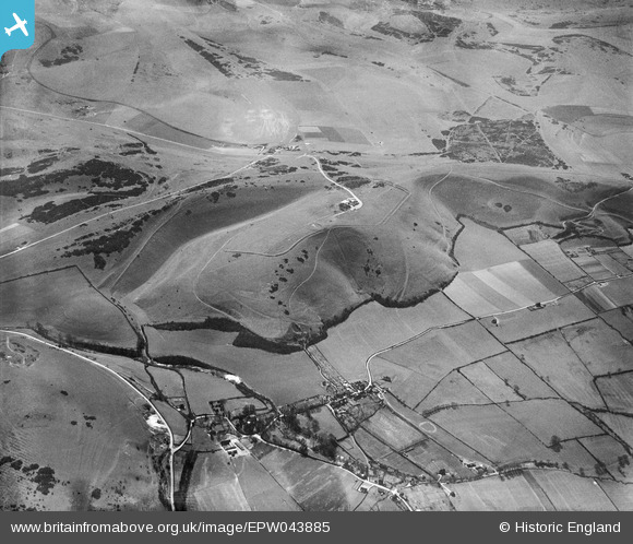
EPW043885 ENGLAND (1934). Devil's Dyke Hillfort, Poynings, 1934
© Copyright OpenStreetMap contributors and licensed by the OpenStreetMap Foundation. 2026. Cartography is licensed as CC BY-SA.
Nearby Images (2)
EPW043885

EPW043886

Details
| Title | [EPW043885] Devil's Dyke Hillfort, Poynings, 1934 |
| Reference | EPW043885 |
| Date | March-1934 |
| Link | |
| Place name | POYNINGS |
| Parish | POYNINGS |
| District | |
| Country | ENGLAND |
| Easting / Northing | 526058, 111333 |
| Longitude / Latitude | -0.20763625467879, 50.88715907833 |
| National Grid Reference | TQ261113 |
Pins

micky |
Friday 15th of November 2013 06:54:40 PM |
User Comment Contributions
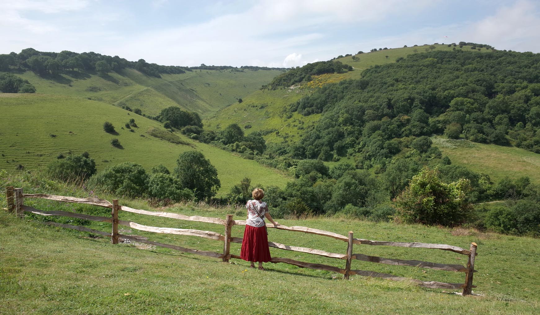
The Devil's Dyke |

Alan McFaden |
Tuesday 25th of November 2014 06:00:09 PM |
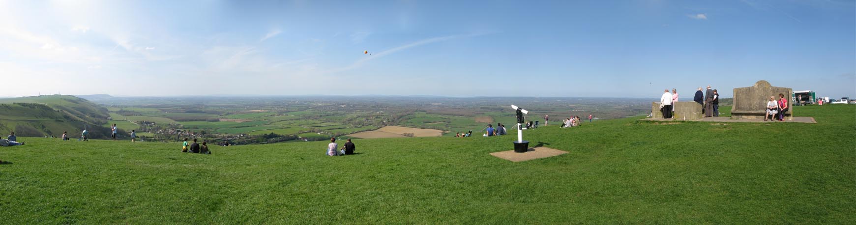
The Top of Devil's Dyke Panorama |
Alan McFaden |
Tuesday 25th of November 2014 05:57:55 PM |
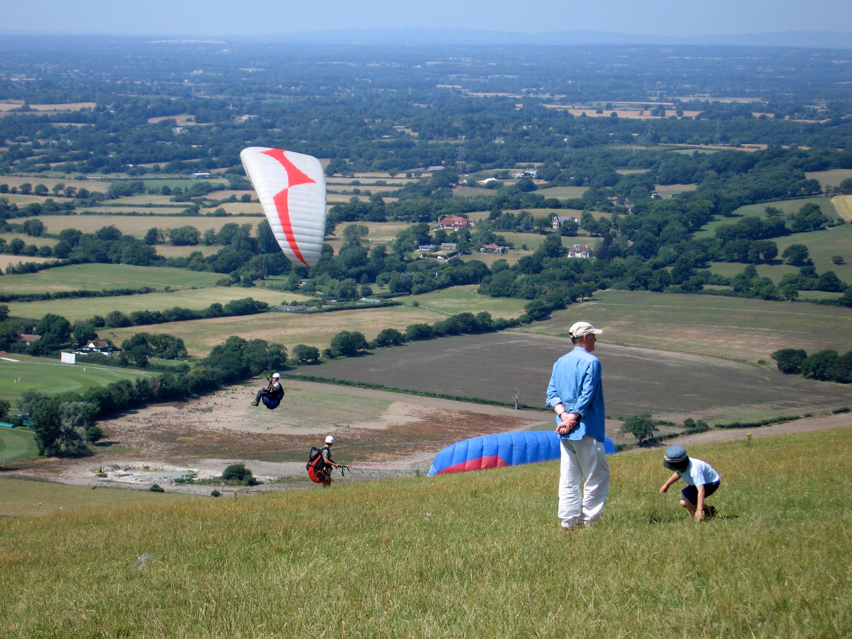
The Top of Devil's Dyke |
Alan McFaden |
Tuesday 25th of November 2014 05:57:18 PM |