
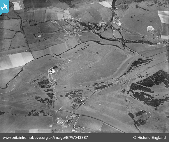
EPW043887 ENGLAND (1934). Devil's Dyke Hillfort, Poynings, 1934
© Copyright OpenStreetMap contributors and licensed by the OpenStreetMap Foundation. 2026. Cartography is licensed as CC BY-SA.
Nearby Images (7)
EPW043887

EPW043914

EPW043886

EPW041379

EPW041378

EPW017737

EPW041381

Details
| Title | [EPW043887] Devil's Dyke Hillfort, Poynings, 1934 |
| Reference | EPW043887 |
| Date | March-1934 |
| Link | |
| Place name | POYNINGS |
| Parish | POYNINGS |
| District | |
| Country | ENGLAND |
| Easting / Northing | 526045, 111004 |
| Longitude / Latitude | -0.20793449977792, 50.884204518221 |
| National Grid Reference | TQ260110 |
Pins

SophieWattsit |
Wednesday 12th of February 2025 08:33:30 PM |
User Comment Contributions
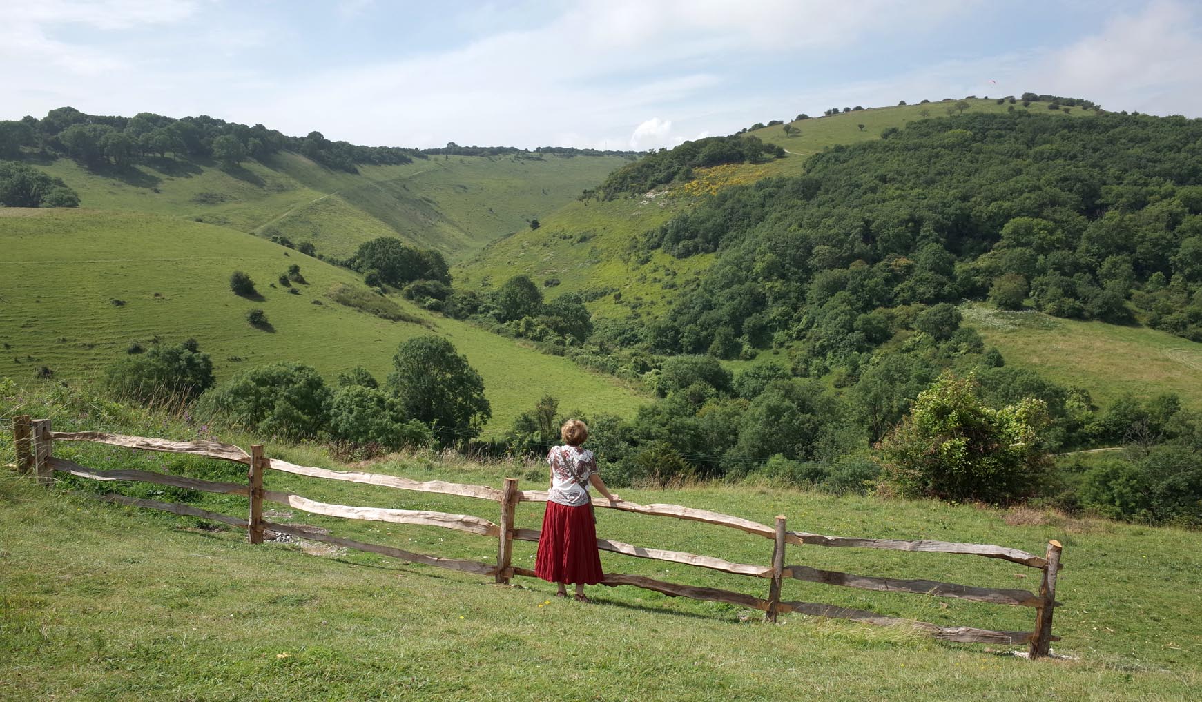
The Devil's Dyke |

Alan McFaden |
Tuesday 25th of November 2014 06:02:18 PM |
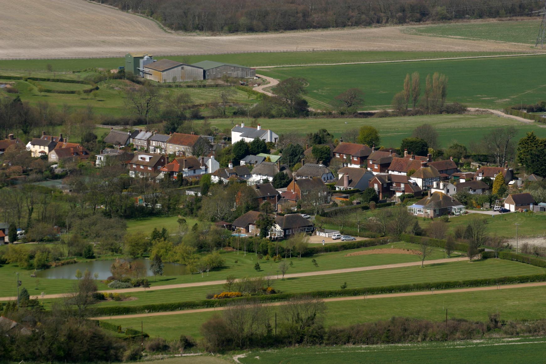
The View from Devil's Dyke |
Alan McFaden |
Sunday 9th of November 2014 03:20:24 PM |
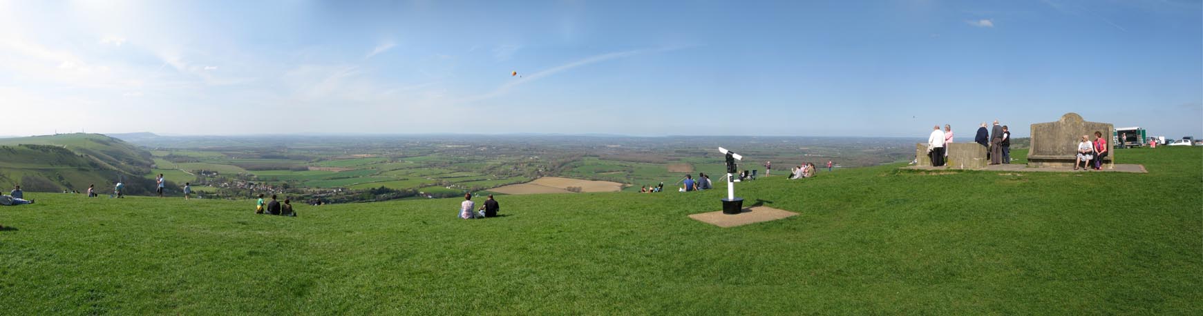
Devil's Dyke Panorama |
Alan McFaden |
Sunday 9th of November 2014 03:18:52 PM |
The View from Devil's Dyke |
Alan McFaden |
Sunday 9th of November 2014 03:18:18 PM |