
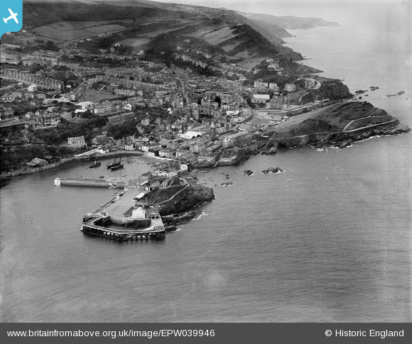
EPW039946 ENGLAND (1932). The harbour and town, Ilfracombe, 1932
© Copyright OpenStreetMap contributors and licensed by the OpenStreetMap Foundation. 2026. Cartography is licensed as CC BY-SA.
Nearby Images (8)
EPW039946

EPW000955

EPW039947

EPW032988

EPW000959

EPW000971

EPW032983

EPW032986

Details
| Title | [EPW039946] The harbour and town, Ilfracombe, 1932 |
| Reference | EPW039946 |
| Date | August-1932 |
| Link | |
| Place name | ILFRACOMBE |
| Parish | ILFRACOMBE |
| District | |
| Country | ENGLAND |
| Easting / Northing | 252335, 147869 |
| Longitude / Latitude | -4.1142819067087, 51.210393046284 |
| National Grid Reference | SS523479 |
Pins
Be the first to add a comment to this image!