
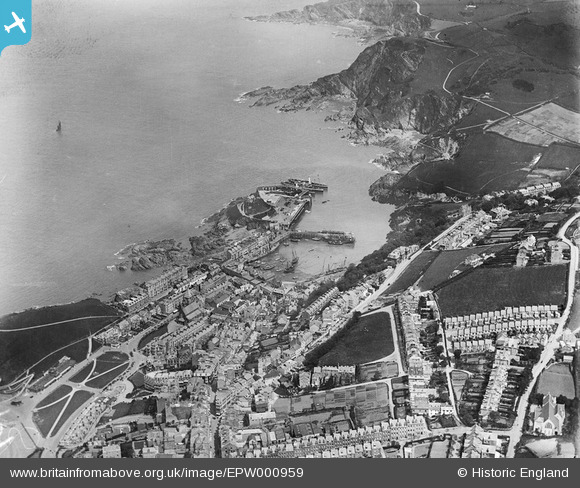
EPW000959 ENGLAND (1920). View of Ilfracombe and Ilfracombe Harbour, Ilfracombe, 1920
© Copyright OpenStreetMap contributors and licensed by the OpenStreetMap Foundation. 2026. Cartography is licensed as CC BY-SA.
Nearby Images (8)
EPW000959

EPW032988

EPW032983

EPW000971

EPW039946

EPW039947

EPW000955

EPW000960

Details
| Title | [EPW000959] View of Ilfracombe and Ilfracombe Harbour, Ilfracombe, 1920 |
| Reference | EPW000959 |
| Date | May-1920 |
| Link | |
| Place name | ILFRACOMBE |
| Parish | ILFRACOMBE |
| District | |
| Country | ENGLAND |
| Easting / Northing | 252477, 147821 |
| Longitude / Latitude | -4.1122304759868, 51.209998382139 |
| National Grid Reference | SS525478 |
