
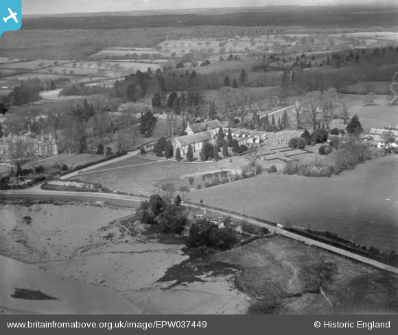
EPW037449 ENGLAND (1932). Beaulieu Abbey, Beaulieu, from the south-east, 1932. This image has been produced from a print.
© Copyright OpenStreetMap contributors and licensed by the OpenStreetMap Foundation. 2025. Cartography is licensed as CC BY-SA.
Nearby Images (13)
EPW037449

EAW023219

EAW023216

EPW037451

EAW023218

EAW023220

EPW032279

EAW023214

EAW023217

EAW023215

EAW023213

EPW032278

EPW032277

Details
| Title | [EPW037449] Beaulieu Abbey, Beaulieu, from the south-east, 1932. This image has been produced from a print. |
| Reference | EPW037449 |
| Date | April-1932 |
| Link | |
| Place name | BEAULIEU |
| Parish | BEAULIEU |
| District | |
| Country | ENGLAND |
| Easting / Northing | 438966, 102439 |
| Longitude / Latitude | -1.4467756125218, 50.819620233452 |
| National Grid Reference | SU390024 |
Pins
Be the first to add a comment to this image!