
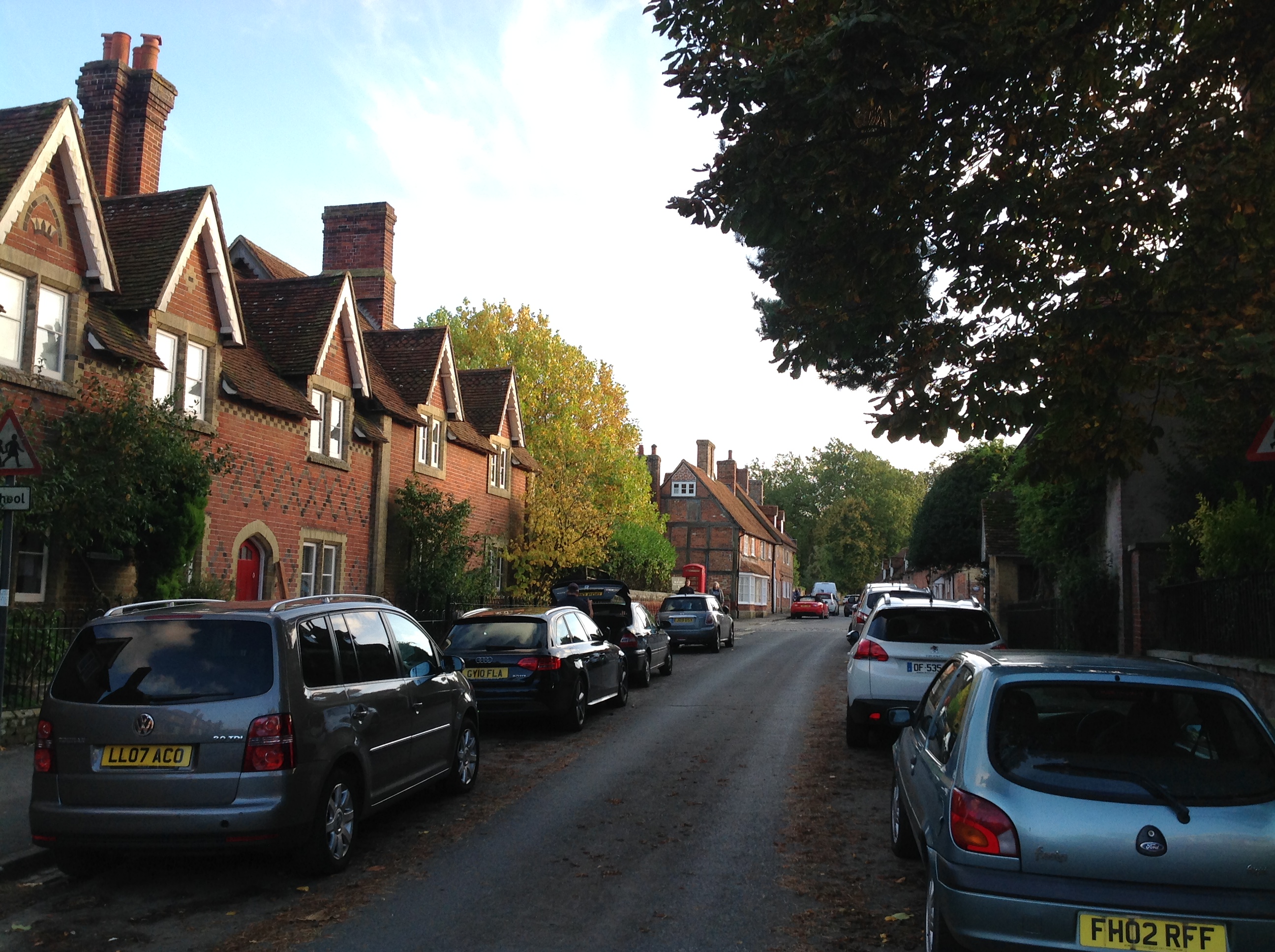
EAW023214 ENGLAND (1949). The village, Beaulieu, 1949

© Copyright OpenStreetMap contributors and licensed by the OpenStreetMap Foundation. 2025. Cartography is licensed as CC BY-SA.
Nearby Images (13)
EAW023214

EPW032278

EPW037451

EAW023216

EAW023215

EAW023219

EAW023213

EPW032279

EAW023217

EAW023220

EAW023218

EPW032277

EPW037449

Details
| Title | [EAW023214] The village, Beaulieu, 1949 |
| Reference | EAW023214 |
| Date | 19-May-1949 |
| Link | |
| Place name | BEAULIEU |
| Parish | BEAULIEU |
| District | |
| Country | ENGLAND |
| Easting / Northing | 438759, 102489 |
| Longitude / Latitude | -1.4497090893808, 50.820083787097 |
| National Grid Reference | SU388025 |
Pins


User Comment Contributions
High Street, Beaulieu, 19/10/2014 |

Class31 |
Sunday 19th of October 2014 08:19:39 PM |