
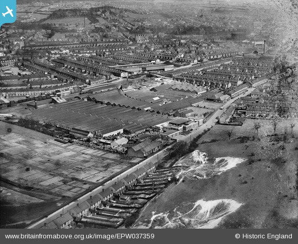
EPW037359 ENGLAND (1932). The Davis Gas Stove Co Diamond Foundry and surrounding housing, Luton, 1932
© Copyright OpenStreetMap contributors and licensed by the OpenStreetMap Foundation. 2026. Cartography is licensed as CC BY-SA.
Nearby Images (11)
EPW037359

EPW037365

EPW037366

EPW037361

EPW037360

EPW037357

EPW037358

EPW037363

EPW037362

EPW037364

EPW061315

Details
| Title | [EPW037359] The Davis Gas Stove Co Diamond Foundry and surrounding housing, Luton, 1932 |
| Reference | EPW037359 |
| Date | 13-April-1932 |
| Link | |
| Place name | LUTON |
| Parish | |
| District | |
| Country | ENGLAND |
| Easting / Northing | 507685, 221665 |
| Longitude / Latitude | -0.43529316304688, 51.882695335538 |
| National Grid Reference | TL077217 |
Pins
Be the first to add a comment to this image!