
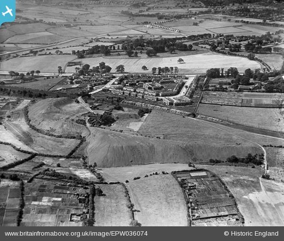
EPW036074 ENGLAND (1931). Killingbeck Colliery, Sutton Approach and environs, Killingbeck, 1931
© Copyright OpenStreetMap contributors and licensed by the OpenStreetMap Foundation. 2026. Cartography is licensed as CC BY-SA.
Nearby Images (8)
EPW036074

EPW036076

EPW036073

EPW036075

EPW036077

EPW036072

EPW036071

EPW036068

Details
| Title | [EPW036074] Killingbeck Colliery, Sutton Approach and environs, Killingbeck, 1931 |
| Reference | EPW036074 |
| Date | 18-July-1931 |
| Link | |
| Place name | KILLINGBECK |
| Parish | |
| District | |
| Country | ENGLAND |
| Easting / Northing | 434695, 434131 |
| Longitude / Latitude | -1.4731479768033, 53.802106450866 |
| National Grid Reference | SE347341 |
Pins

trevorsboy |
Tuesday 1st of March 2016 06:41:29 PM |