
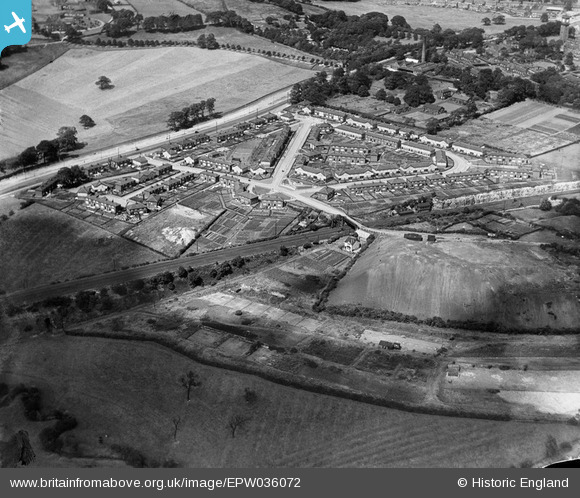
EPW036072 ENGLAND (1931). Sutton Approach and environs, Killingbeck, 1931
© Copyright OpenStreetMap contributors and licensed by the OpenStreetMap Foundation. 2026. Cartography is licensed as CC BY-SA.
Nearby Images (11)
EPW036072

EPW036071

EPW036077

EPW036075

EPW036073

EPW036068

EPW036070

EPW036076

EPW036067

EPW036074

EPW036069

Details
| Title | [EPW036072] Sutton Approach and environs, Killingbeck, 1931 |
| Reference | EPW036072 |
| Date | 18-July-1931 |
| Link | |
| Place name | KILLINGBECK |
| Parish | |
| District | |
| Country | ENGLAND |
| Easting / Northing | 434490, 434161 |
| Longitude / Latitude | -1.476257447625, 53.802389743201 |
| National Grid Reference | SE345342 |
Pins

Carl |
Saturday 24th of February 2024 04:39:40 PM | |
|
trevorsboy |
Friday 1st of November 2019 06:35:52 PM | |
|
trevorsboy |
Tuesday 1st of March 2016 07:33:50 PM |