
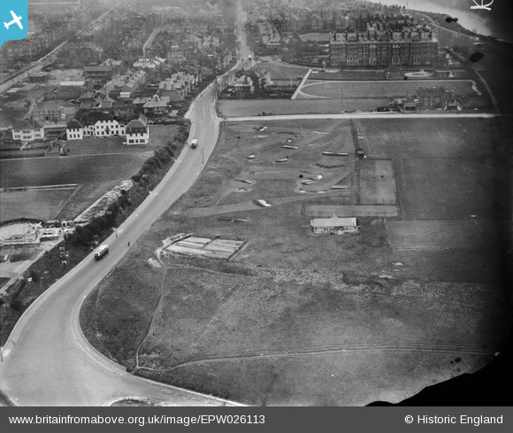
EPW026113 ENGLAND (1929). Sandgate Hill and Balfour Gardens, Folkestone, 1929
© Copyright OpenStreetMap contributors and licensed by the OpenStreetMap Foundation. 2026. Cartography is licensed as CC BY-SA.
Nearby Images (12)
EPW026113

EAW002376

EPW019045

EAW032834

EAW032835

EPW035412

EAW002377

EAW032833

EAW032836

EAW032832

EPW000585

EPW042871

Details
| Title | [EPW026113] Sandgate Hill and Balfour Gardens, Folkestone, 1929 |
| Reference | EPW026113 |
| Date | April-1929 |
| Link | |
| Place name | FOLKESTONE |
| Parish | FOLKESTONE |
| District | |
| Country | ENGLAND |
| Easting / Northing | 621180, 135465 |
| Longitude / Latitude | 1.1578275512468, 51.075281977797 |
| National Grid Reference | TR212355 |
Pins

Paolo |
Wednesday 7th of November 2012 05:05:33 PM | |
|
Paolo |
Sunday 28th of October 2012 05:08:01 PM | |
|
Paolo |
Sunday 28th of October 2012 05:06:01 PM | |
|
Paolo |
Sunday 28th of October 2012 05:03:35 PM | |
|
Paolo |
Sunday 28th of October 2012 05:02:36 PM | |
|
Paolo |
Sunday 28th of October 2012 04:59:24 PM |