
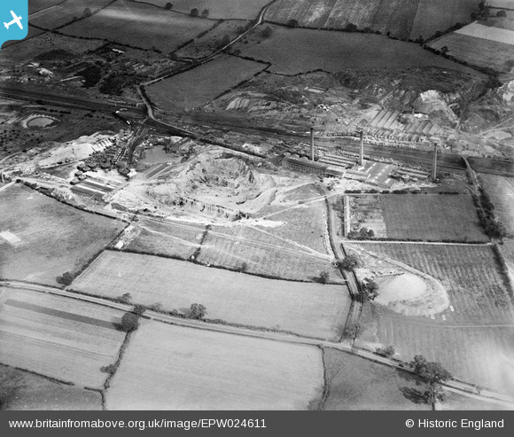
EPW024611 ENGLAND (1928). The Stoneware Limited Works and clay pits, Whateley, 1928
© Copyright OpenStreetMap contributors and licensed by the OpenStreetMap Foundation. 2026. Cartography is licensed as CC BY-SA.
Nearby Images (25)
EPW024611

EPW024610

EPW024597

EPW024607

EPW044463

EPW024598

EPW024600

EPW024609

EPW044461

EPW044460

EPW024595

EPW024596

EPW044462

EPW024608

EPW024820

EPW044459

EPW024602

EPW024603

EPW044464

EPW024599

EPW024601

EPW024639

EPW044458

EPW024604

EPW024605

Details
| Title | [EPW024611] The Stoneware Limited Works and clay pits, Whateley, 1928 |
| Reference | EPW024611 |
| Date | September-1928 |
| Link | |
| Place name | WHATELEY |
| Parish | KINGSBURY |
| District | |
| Country | ENGLAND |
| Easting / Northing | 421613, 299263 |
| Longitude / Latitude | -1.6809285080986, 52.590381264835 |
| National Grid Reference | SP216993 |
Pins

johnny {strip} |
Sunday 3rd of March 2013 09:39:33 PM | |
|
johnny {strip} |
Sunday 3rd of March 2013 09:36:50 PM | |
|
johnny {strip} |
Sunday 3rd of March 2013 09:31:21 PM | |
|
johnny {strip} |
Sunday 3rd of March 2013 09:29:45 PM | |
|
johnny {strip} |
Sunday 3rd of March 2013 09:22:56 PM | |
|
johnny {strip} |
Sunday 3rd of March 2013 09:19:06 PM | |
|
johnny {strip} |
Sunday 3rd of March 2013 09:16:42 PM | |
|
johnny {strip} |
Sunday 3rd of March 2013 09:13:05 PM |