
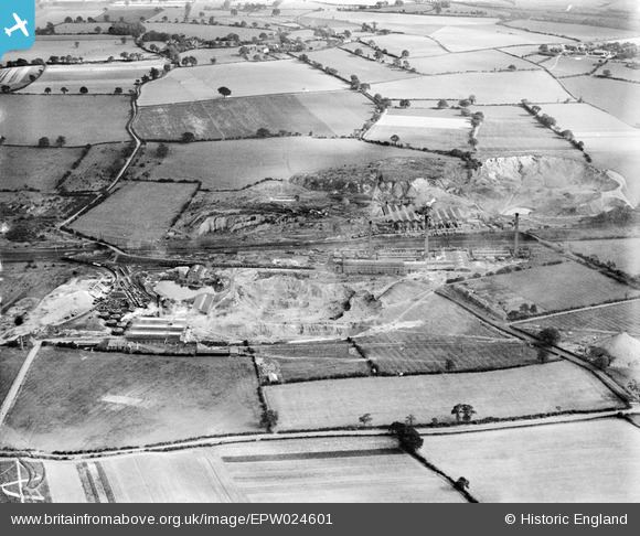
EPW024601 ENGLAND (1928). The Stoneware Limited Works and clay pits, Whateley, 1928
© Copyright OpenStreetMap contributors and licensed by the OpenStreetMap Foundation. 2026. Cartography is licensed as CC BY-SA.
Nearby Images (24)
EPW024601

EPW044459

EPW024599

EPW024820

EPW024603

EPW024604

EPW044460

EPW024609

EPW024595

EPW024600

EPW024605

EPW024607

EPW044463

EPW024598

EPW024596

EPW024611

EPW044458

EPW024610

EPW024608

EPW024597

EPW044461

EPW044462

EPW044464

EPW024639

Details
| Title | [EPW024601] The Stoneware Limited Works and clay pits, Whateley, 1928 |
| Reference | EPW024601 |
| Date | September-1928 |
| Link | |
| Place name | WHATELEY |
| Parish | KINGSBURY |
| District | |
| Country | ENGLAND |
| Easting / Northing | 421790, 299257 |
| Longitude / Latitude | -1.6783159067905, 52.590320252547 |
| National Grid Reference | SP218993 |
Pins

MPMunro |
Monday 26th of January 2026 03:06:09 PM | |
|
MPMunro |
Monday 26th of January 2026 03:03:32 PM | |
|
MPMunro |
Monday 26th of January 2026 03:02:58 PM | |

johnny {strip} |
Thursday 7th of March 2013 05:38:01 PM | |
|
johnny {strip} |
Thursday 7th of March 2013 05:28:24 PM |