
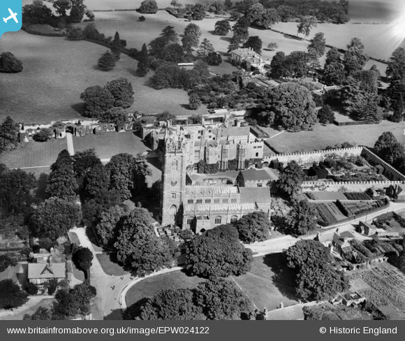
EPW024122 ENGLAND (1928). St Mary's Church and Thornbury Castle, Thornbury, 1928
© Copyright OpenStreetMap contributors and licensed by the OpenStreetMap Foundation. 2026. Cartography is licensed as CC BY-SA.
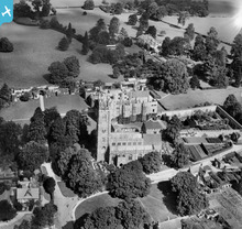
Nearby Images (9)
EPW024122

EAW006835

EAW006838

EAW006836

EAW006840

EAW006841

EAW006837

EAW006839

EPW024123

Details
| Title | [EPW024122] St Mary's Church and Thornbury Castle, Thornbury, 1928 |
| Reference | EPW024122 |
| Date | September-1928 |
| Link | |
| Place name | THORNBURY |
| Parish | THORNBURY |
| District | |
| Country | ENGLAND |
| Easting / Northing | 363384, 190709 |
| Longitude / Latitude | -2.5288788718712, 51.613547468561 |
| National Grid Reference | ST634907 |
Pins
Be the first to add a comment to this image!
User Comment Contributions
St Mary's Church and Thornbury Castle, Thornbury 1928 |
Sarah Hoile |
Friday 20th of June 2014 11:33:43 AM |
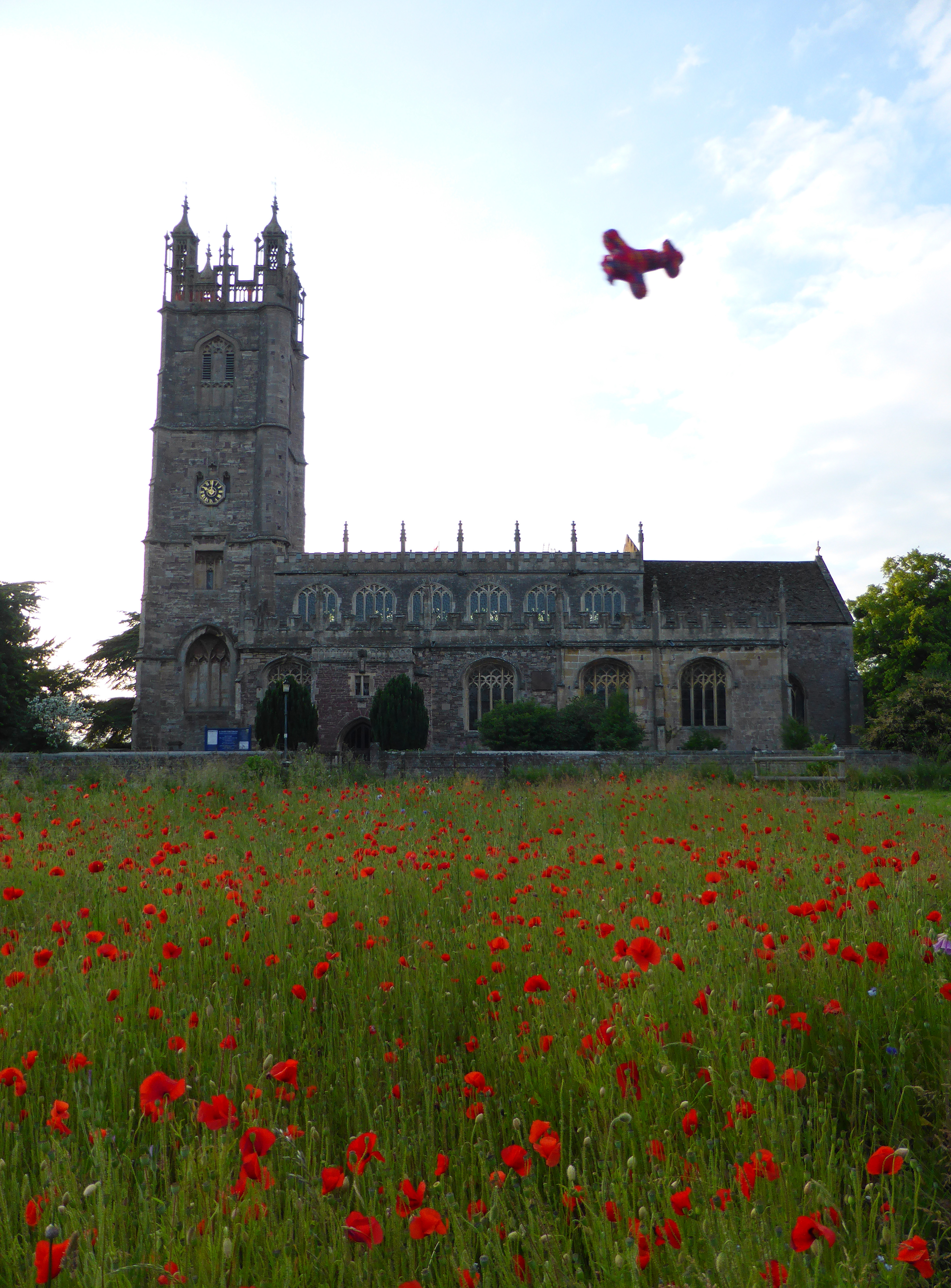
A Knit for Britain from Above plane by St Mary's Church, June 2014. |
Sarah Hoile |
Friday 20th of June 2014 11:33:43 AM |