
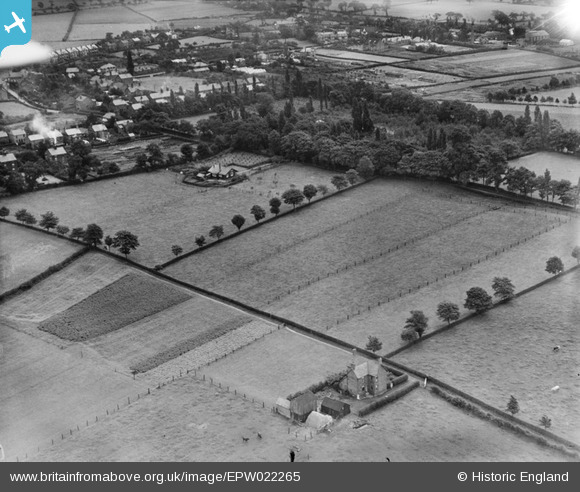
EPW022265 ENGLAND (1928). Fields off Bradeley Road and Merefield House, Haslington, 1928
© Copyright OpenStreetMap contributors and licensed by the OpenStreetMap Foundation. 2026. Cartography is licensed as CC BY-SA.
Nearby Images (11)
EPW022265

EPW022264

EPW022266

EPW022269

EPW022263

EPW023343

EPW023346

EPW023345

EPW023344

EPW022268

EPW022262

Details
| Title | [EPW022265] Fields off Bradeley Road and Merefield House, Haslington, 1928 |
| Reference | EPW022265 |
| Date | August-1928 |
| Link | |
| Place name | HASLINGTON |
| Parish | HASLINGTON |
| District | |
| Country | ENGLAND |
| Easting / Northing | 373263, 356009 |
| Longitude / Latitude | -2.3993689167534, 53.100313281158 |
| National Grid Reference | SJ733560 |
Pins

DocJ |
Wednesday 5th of July 2023 11:40:08 AM | |
|
DocJ |
Wednesday 5th of July 2023 11:38:23 AM | |

Class31 |
Saturday 30th of November 2013 07:51:41 AM | |
|
Class31 |
Saturday 30th of November 2013 07:41:44 AM | |
|
Class31 |
Saturday 30th of November 2013 07:29:38 AM |