
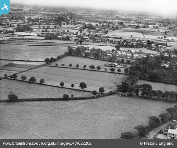
EPW022262 ENGLAND (1928). Fields off Bradeley Road and the village, Haslington, from the west, 1928
© Copyright OpenStreetMap contributors and licensed by the OpenStreetMap Foundation. 2026. Cartography is licensed as CC BY-SA.
Nearby Images (11)
EPW022262

EPW022268

EPW023344

EPW022269

EPW022266

EPW022265

EPW022263

EPW023343

EPW022264

EPW023345

EPW023346

Details
| Title | [EPW022262] Fields off Bradeley Road and the village, Haslington, from the west, 1928 |
| Reference | EPW022262 |
| Date | August-1928 |
| Link | |
| Place name | HASLINGTON |
| Parish | HASLINGTON |
| District | |
| Country | ENGLAND |
| Easting / Northing | 373112, 355923 |
| Longitude / Latitude | -2.4016171334837, 53.099532566381 |
| National Grid Reference | SJ731559 |
