
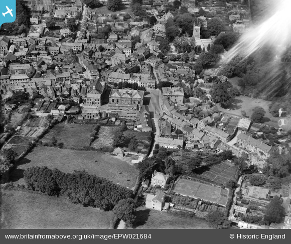
EPW021684 ENGLAND (1928). Mount Folly Square and environs, Bodmin, 1928
© Copyright OpenStreetMap contributors and licensed by the OpenStreetMap Foundation. 2026. Cartography is licensed as CC BY-SA.
Nearby Images (7)
EPW021684

EPW021681

EPW039804

EPW039809

EPW039806

EPW021680

EPW021679

Details
| Title | [EPW021684] Mount Folly Square and environs, Bodmin, 1928 |
| Reference | EPW021684 |
| Date | 24-June-1928 |
| Link | |
| Place name | BODMIN |
| Parish | BODMIN |
| District | |
| Country | ENGLAND |
| Easting / Northing | 207152, 66874 |
| Longitude / Latitude | -4.7178855750843, 50.469326807664 |
| National Grid Reference | SX072669 |
Pins
Be the first to add a comment to this image!